|
| *****SWAAG_ID***** | 162 |
| Date Entered | 23/03/2011 |
| Updated on | 23/03/2011 |
| Recorded by | Tim Laurie |
| Category | Mining Related |
| Record Type | Mining |
| Site Access | Public Access Land |
| Record Date | 22/03/2011 |
| Location | Punchard Gill |
| Civil Parish | Arkengarthdale |
| Brit. National Grid | NY 96040 04379 |
| Altitude | 410m |
| Geology | The Main Limestone |
| Record Name | Routh Level |
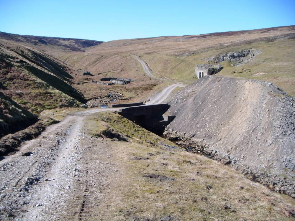
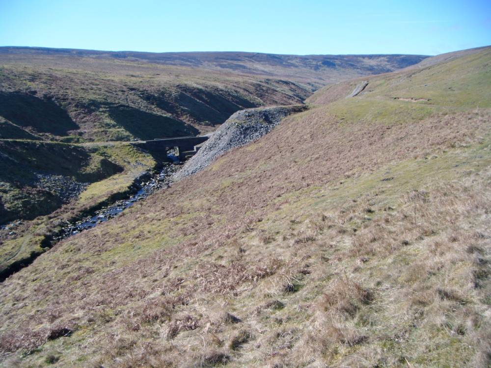
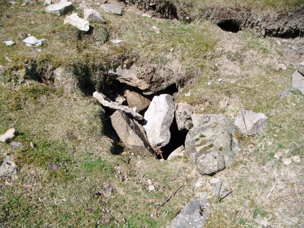
| Record Description | Entrance to the Routh level (now blocked) and spoil heap on the western bank of Great Punchard Gill.
The entrance to the level is just to the east of the limekiln. It has been blocked and s difficult to find. |
| Additional Notes | This disused level is one element in an interesting industrial landscape complex on the western side of Great Punchard Gill, comprising the mine level, a double limekiln and quarry and a large and well preserved sheepfold/washfold (each feature recorded seperately). |
| Image 1 ID | 448 Click image to enlarge |
| Image 1 Description | The Routh Level from the west, entrance to the level is east of the lime kiln. | 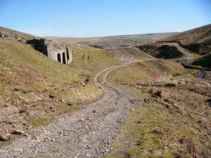 |
| Image 2 ID | 449 Click image to enlarge |
| Image 2 Description | The Routh Level from south bank of Punchard Gill, entrance to the level is east of the lime kiln. | 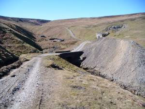 |
| Image 3 ID | 450 Click image to enlarge |
| Image 3 Description | The Routh Level. | 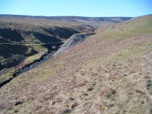 |
| Image 4 ID | 451 Click image to enlarge |
| Image 4 Description | The Routh Level, entrance. |  |
| Image 5 ID | 452 Click image to enlarge |
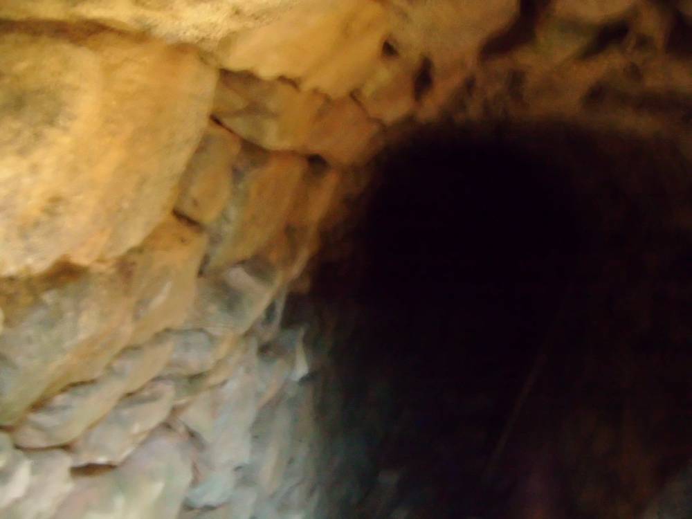
| Image 5 Description | The Routh Level, interior at entrance. |  |
| Image 6 ID | 453 Click image to enlarge |
| Image 6 Description | The Routh Level, interior at entrance. | 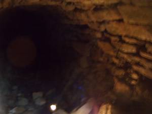 |